

The Packhorse Roads of the South Pennines: Trade Routes Turned Footpaths
Look at any map of the South Pennines and you'll notice how many footpaths seem oddly straight, cutting across contours that a modern path would avoid. These are the ghosts of the packhorse roads, the trade routes that carried the region's goods for centuries before canals and railways made them redundant.
From roughly the fourteenth century until the early nineteenth, strings of ponies — often twenty or more in a train — moved wool, cloth, salt, coal, lime and lead across the high ground between Yorkshire and Lancashire. Each pony carried perhaps two hundredweight, slung in panniers either side of a wooden pack saddle. The drivers walked alongside, and the routes they chose were dictated by gradient, ground and the need for water and grazing.
Reading the Landscape
Once you know what to look for, packhorse infrastructure is everywhere. The most obvious survivals are the packhorse bridges: narrow, humped, often without parapets, built to take a single file of laden animals. Many are now footbridges on walking routes, and a few still carry minor roads. Good examples survive at Wycoller, Slippery Stones in the Upper Derwent, and dozens of lesser-known crossings throughout the Calder and Colne valleys.
Less visible are the causeways — paved sections laid across boggy ground, often using large flat stones set edge to edge. You can still walk stretches of these on the moors above Ripponden and on the old saltway routes crossing from Cheshire into Yorkshire. The stones are worn smooth and sometimes hollowed by centuries of hooves.
Then there are the guide stoops, the stone posts erected from the early eighteenth century onwards to mark routes across open moorland. Many carry simple carved directions — 'To Halifax', 'To Rochdale' — and a few retain the initials of the townships that paid for them. They were the satnav of their day, and they are a wonderful thing to spot on a walk.
Walking the Old Routes Today
Several long-distance paths follow packhorse alignments, sometimes knowingly and sometimes by accident. The Calderdale Way, the Pennine Bridleway and parts of the Mary Towneley Loop all overlap with historic trade routes. But you don't need a long-distance path to enjoy them. A half-day walk between two packhorse bridges, with a guide stoop or two on the way, makes a satisfying outing.
The economic history matters, but so does the human one. These were working routes, walked in all weathers by people whose names we mostly don't know. When you stand on a worn causeway high on the moor, with the wind coming off the tops and a line of stones stretching ahead, you're standing where a pony train once stood. The loads have gone. The path remains.





Before the canals and railways, strings of laden ponies carried cloth, coal and salt across the Pennine watershed.
Pen-y-ghent, Whernside and Ingleborough in a day is a classic challenge — and a serious walk that rewards proper preparation.
The ruins and remnants scattered through the Upper Calder Valley tell the story of the textile trade that shaped the Pennines.
The story of the 1612 Pendle witch trials is woven into the moorland paths and villages of the Forest of Pendle.
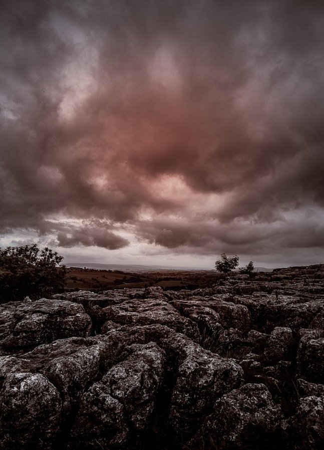
A walker's guide to the cracked and weathered limestone pavements above Malham, where geology and history meet on the clints and grykes.