


The Pennine Way at 60: Walking the Spine of England
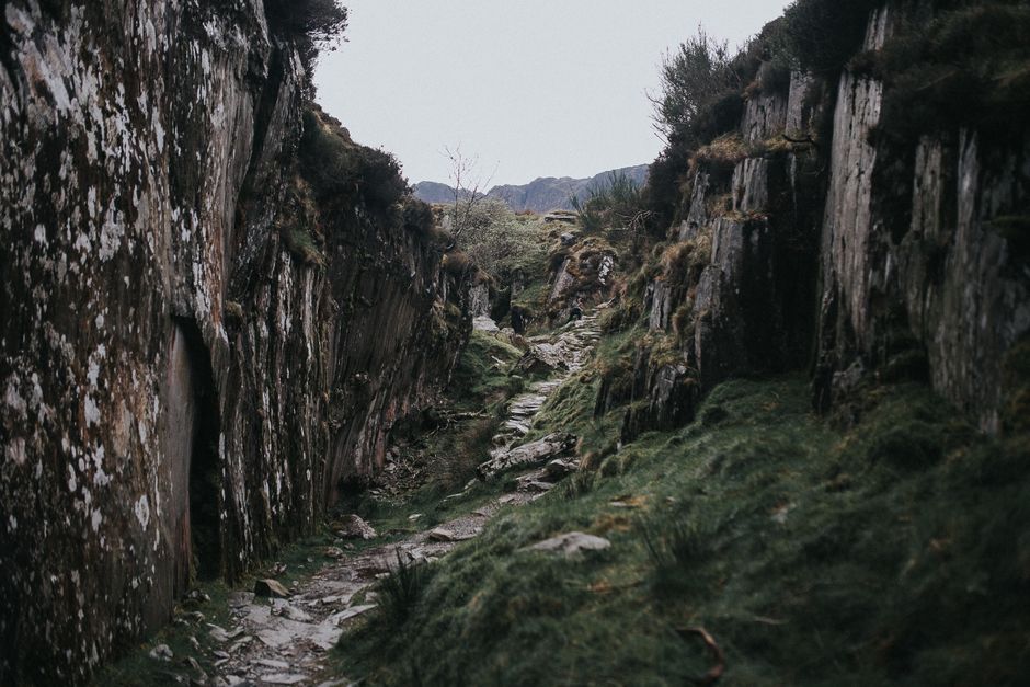
In April 1965, the Pennine Way became Britain's first official National Trail, strung together from old packhorse routes, drovers' tracks and bare moorland trods running 268 miles from Edale in Derbyshire to Kirk Yetholm in the Scottish Borders. Sixty years on, it remains the benchmark against which long-distance walking in England is measured — and for good reason.
The trail's genius lies in its stubbornness. It does not take the easiest line. It climbs, dips, bogs and recovers, threading through the Peak District, the South Pennines, the Yorkshire Dales, the North Pennines and finally the Cheviots. Walkers who complete it talk less about scenery than about rhythm: the daily negotiation of weather, ground and their own stubborn legs.
What Makes the Pennine Way Special
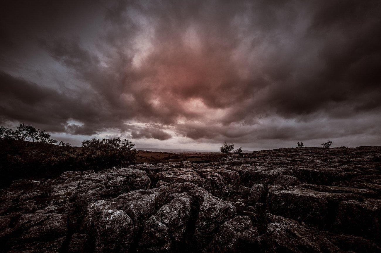
Ask a dozen end-to-enders what they remember most and you'll get a dozen answers. Some will name Kinder Scout, where the path picks its way across the gritstone plateau in cloud so thick you navigate by compass. Others will mention the limestone pavements of Malham, or the strange emptiness of Cross Fell, the highest point of the route outside the Cheviot finish.
The boggy sections of the Dark Peak and the Cheviot summit have a reputation that is only partly deserved, and in many places flagstones and boardwalks have tamed the worst of the peat. But the path still demands respect. Waterproof boots, a working map and compass, and the humility to turn back when the weather closes in are not optional extras — they are the price of admission.
What makes the route endure is its human geography. You pass through villages where walkers are welcomed as a fact of life: Alston, Hawes, Horton-in-Ribblesdale. There are pubs where boots are expected, bunkhouses where stories are swapped, and a whole informal economy built around people putting one foot in front of the other for weeks on end.
Planning Your Own Crossing
Most people take between sixteen and twenty days, though the record holders do it in a fraction of that and the unhurried take a month. A sensible plan walks south to north, following the prevailing wind, and builds in at least one rest day around the halfway mark. Accommodation should be booked well ahead in summer, especially in the Dales and around Hadrian's Wall country.
You don't have to do the whole thing. The Pennine Way rewards section walking just as generously. Edale to Marsden makes a fine long weekend, as does the Malham to Horton stretch, or the magnificent run over the Cheviot from Byrness to Kirk Yetholm. Many people start with a weekend and find themselves, a few years later, standing slightly stunned outside the Border Hotel with a pint in hand.
Sixty years after it opened, the Pennine Way remains what it always was: a long, honest walk across the roof of England. It is not always pretty. It is frequently wet. It is also, for many people, the most important path they will ever follow.




Britain's first national trail still delivers bog, beauty and a profound sense of space six decades after it opened.
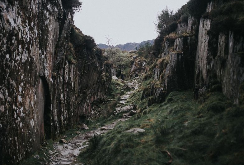
Before the canals and railways, strings of laden ponies carried cloth, coal and salt across the Pennine watershed.
Pen-y-ghent, Whernside and Ingleborough in a day is a classic challenge — and a serious walk that rewards proper preparation.
The ruins and remnants scattered through the Upper Calder Valley tell the story of the textile trade that shaped the Pennines.
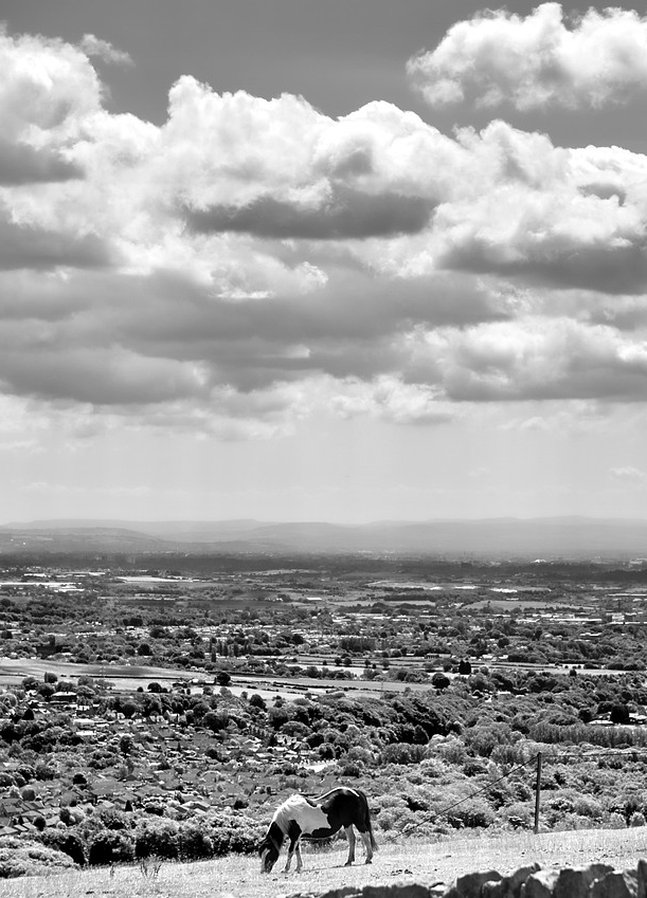
The story of the 1612 Pendle witch trials is woven into the moorland paths and villages of the Forest of Pendle.